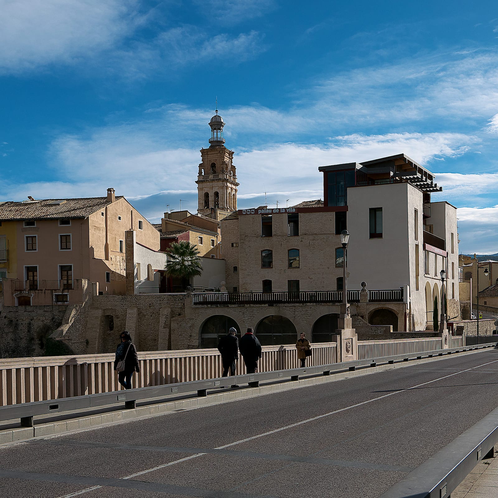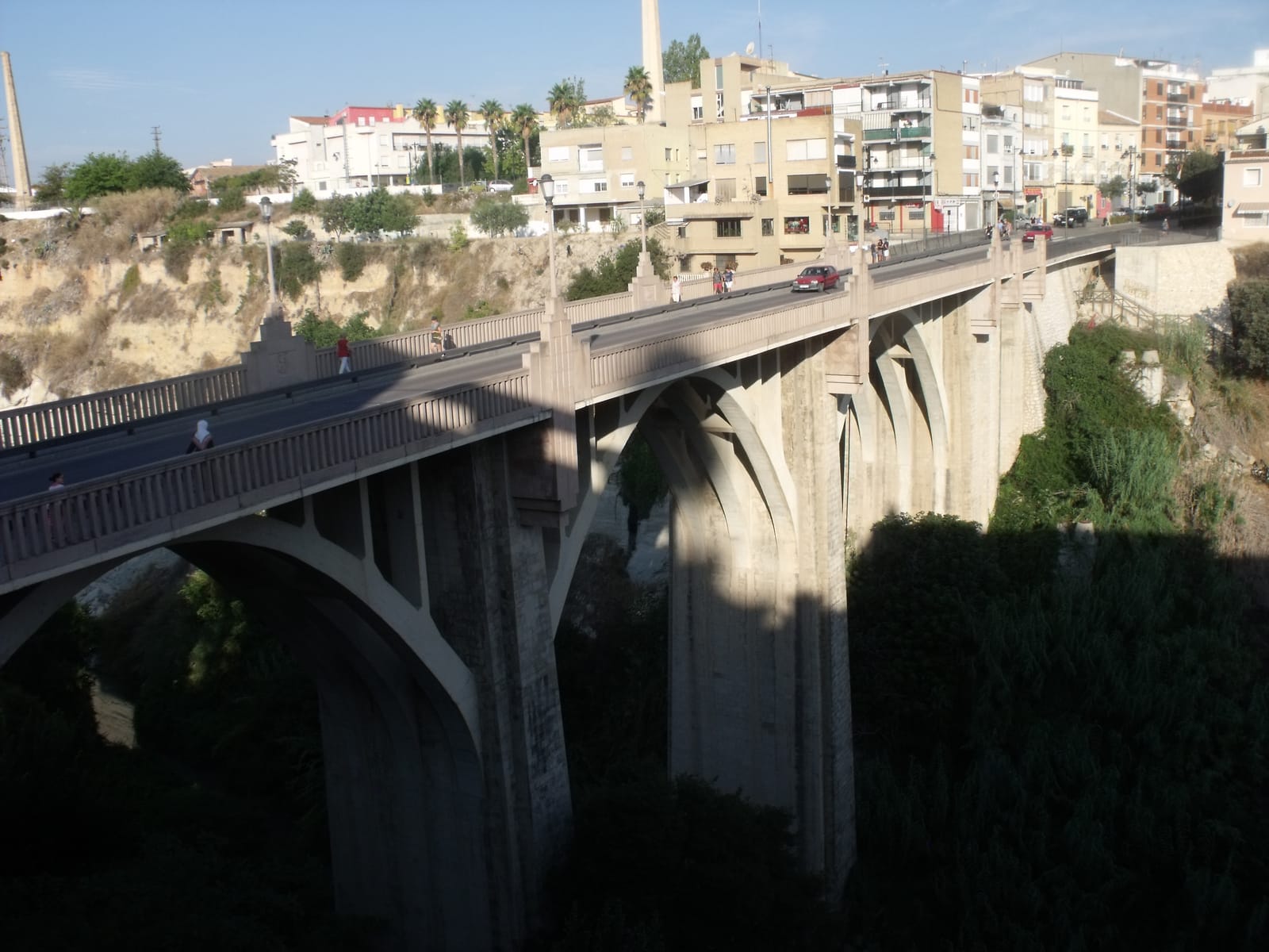
Arches of Santa Maria bridge over the Clariano river gorge in Ontinyent

What to see

The bridges of Ontinyent

From the Pont Vell of 1500 to the footbridge of 2025: every period of the town has left its own way of crossing the Clariano river.

📷 19Tarrestnom65 · CC BY-SA 4.0
← Back to What to see

🗓️ Last reviewed: October 2026

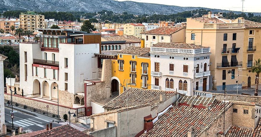
The Clariano river runs through Ontinyent in a deep channel, and the Vila, the medieval quarter, looks down on it from above. Crossing it has always been a necessity, and each period of the town has solved it in its own way: with ashlar stone in the early 16th century, with dressed stone and brick in the 19th, with reinforced concrete in the mid-20th, with a great arch at the end of that same century and, in the 21st, with a footbridge for walkers. Read in order, the bridges tell how the town has grown on both sides of the river.

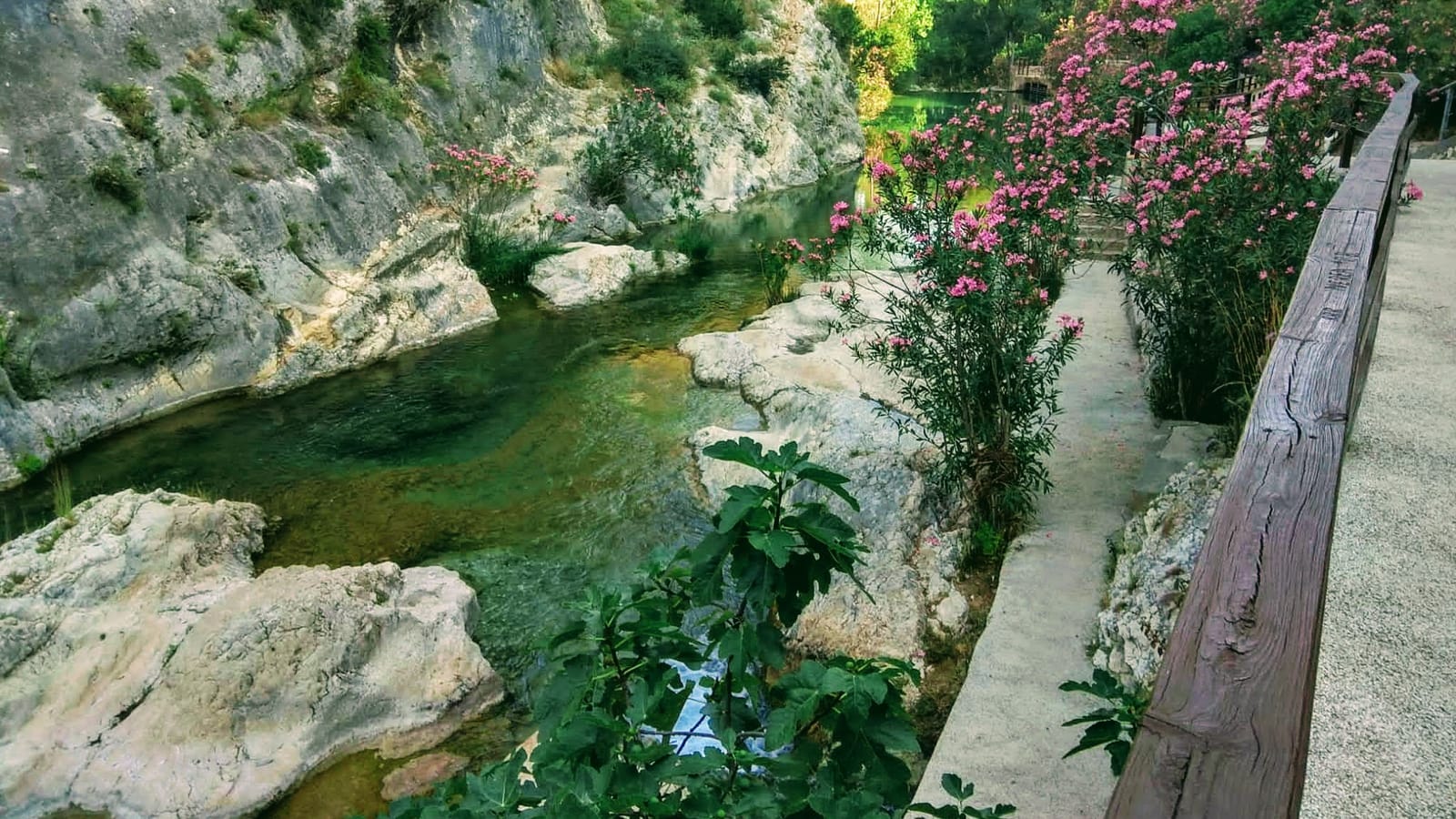
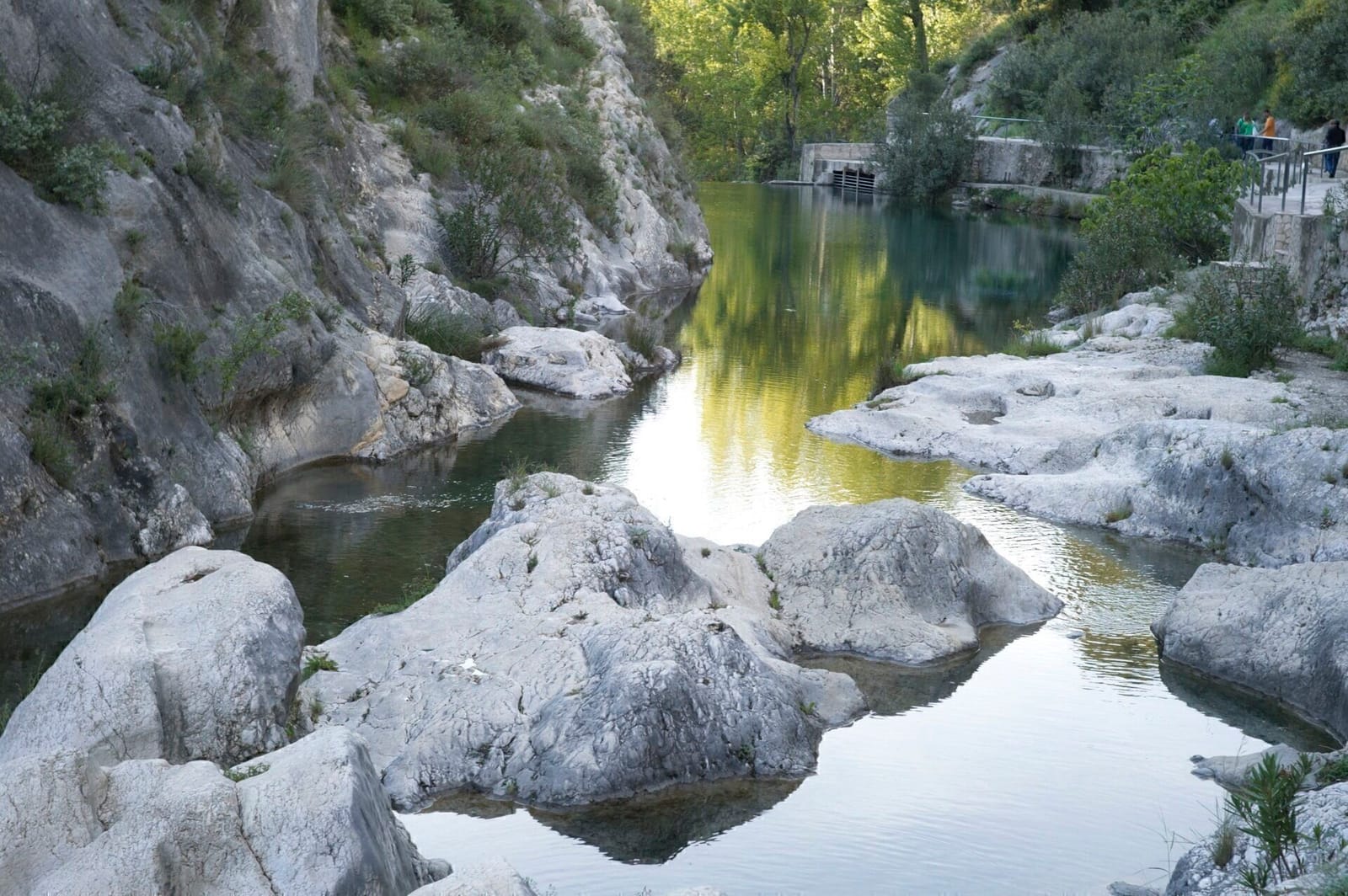
Upstream, at the Pou Clar, springs give the Clariano its year-round flow.

Pont Vell · 1500-1501

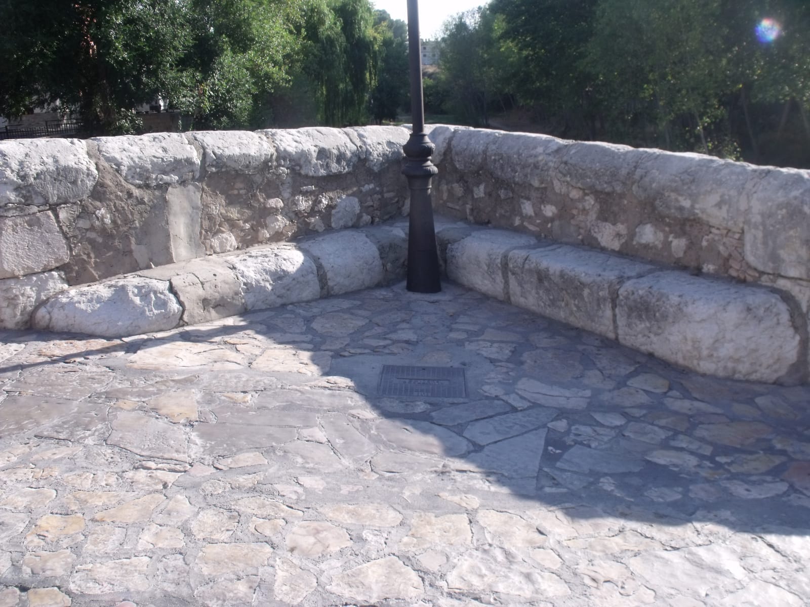
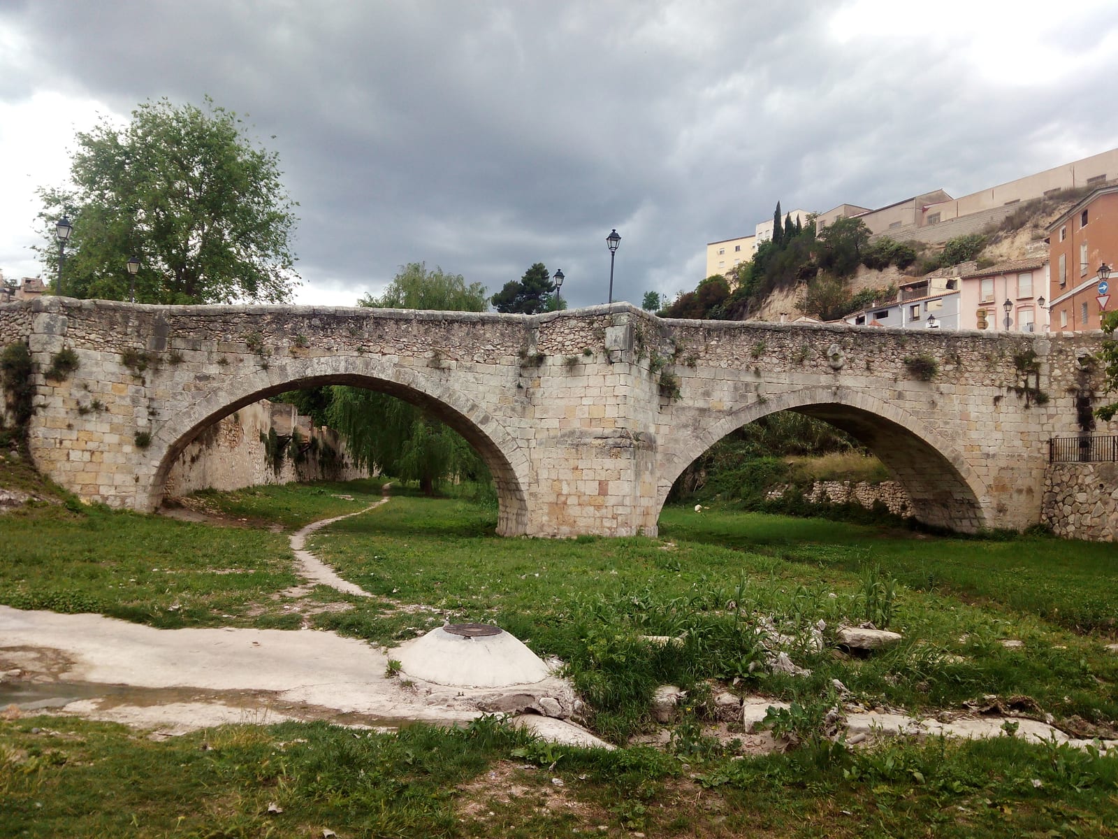
The Pont Vell (Old Bridge) was built in 1500-1501 at the foot of the Vila, and its arrival reshaped the medieval quarter's communications. It is built of ashlar, with two slightly flattened arches springing from the riverbed, and its roadway slopes gently down from the Cantereria to Plaça de Baix. Above the buttresses, the way widens into small recesses with long stone benches.

It is listed as a Site of Local Significance (Bé de Rellevància Local) and, after a restoration completed in 2023, it is open to pedestrians and cyclists.
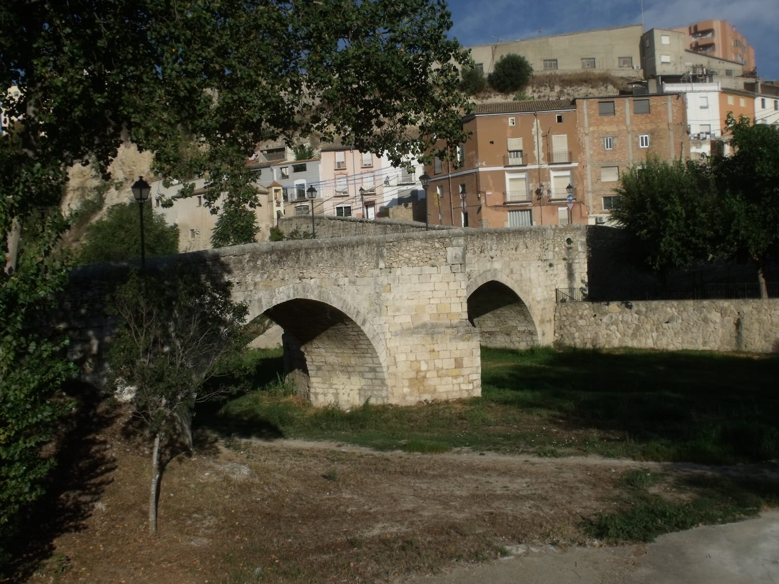
Ontinyent's Pont Vell seen from the bed of the Clariano, with its two stone arches and the riverside houses behind
The two arches from the riverbed (2016, before the restoration). 📷 19Tarrestnom65 · CC BY-SA 4.0
A long stone bench in one of the widened recesses of the Pont Vell, above the cobbled roadway
One of the stone benches above the buttresses (2016). 📷 19Tarrestnom65 · CC BY-SA 4.0

Its history, its builders and what grew up around it (the Camí dels Carros, the Tirador dels Peraires, the Cantereria) are on its own page: the Pont Vell →

Pont Nou · 19th century

Downstream, on Avinguda de Sant Francesc, the Pont Nou (New Bridge) belongs to another period. The town's heritage catalogue dates it to around 1860-1893 and describes it as typical of 19th-century civil engineering: dressed stone and brick, three round arches and circular panels decorating the spandrels, the spaces between the arches.

It was later widened with concrete cantilevers and a metal railing, which altered its original appearance. It has full protection in the catalogue.

Santa Maria bridge · mid-20th century

Upstream of the Vila, Santa Maria bridge spans the Clariano gorge and links the Vila with the Sant Rafael district along Carrer Magdalena. It is made of reinforced concrete, is about 150 metres long and was built in the 1940s and 1950s. It has full protection in the town's heritage catalogue.

From the far side of the bridge you get one of the town's classic views: the hanging houses of the Vila old town above the river.

Salt del Bou bridge · late 20th century

Out on the ring road, further upstream, the Salt del Bou bridge crosses the gorge with a great arch. It dates from the late 1990s and belongs to the contemporary town: the traffic that skirts the centre.
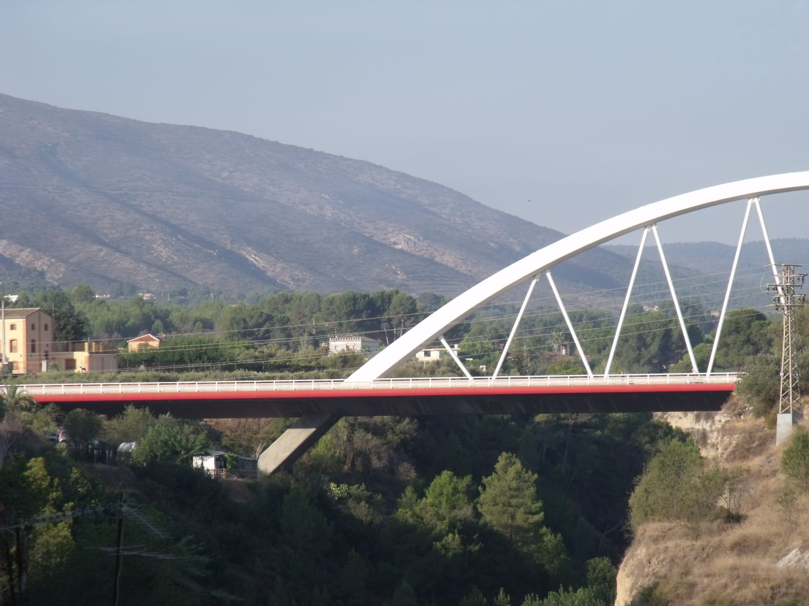
The Salt del Bou bridge, with its great white arch over the Clariano gorge and the hills behind
The Salt del Bou arch over the gorge (2016). 📷 19Tarrestnom65 · CC BY-SA 4.0

The new footbridge · 2025

The newest crossing over the Clariano is not for cars. In July 2025 a footbridge 26 metres long and 2 metres wide opened between Les Mamàs Belgues park, in the Cantereria, and the Sant Josep district, next to the Molí Descals. It is part of the river restoration between the Pont Vell and the Pont Nou carried out by the Júcar River Basin Authority (Confederación Hidrográfica del Júcar).

It is designed to flood: it rests on concrete frames that the water flows through, and its railings can be removed when high water is expected.

After centuries of bridges built to get over the river, this one is of a different kind: the land along the Clariano is regaining space for walking and for pedestrian links between neighbourhoods.

Sources: Ajuntament d'Ontinyent; catalogue of protected heritage of the Ontinyent General Plan (2007), entries 24, 84 and 148; Valencian Cultural Heritage Inventory; Júcar River Basin Authority; Salt del Bou project sheet (Urbinsa); Pont Vell restoration: Valencia Plaza (28 April 2023).
Photos

1 photos

📷 Photos may be subject to copyright. If you are the author of any of them and would like it removed, please contact us.

Have photos of Ontinyent? Help make this website more complete. Share your photos →

You might also like

What to see

Pou Clar🌿 Nature

Pou Clar

The town's most iconic natural spot, where springs give the Clariano river its year-round flow, among crystal-clear pools in the limestone.

Read more →
Barri de la Vila🏰 Heritage

Barri de la Vila

The medieval heart of Ontinyent, a protected Historic-Artistic Site, home to the tallest bell tower in the Valencian Community.

Read more →
Textile Museum🏛️ Culture

Textile Museum

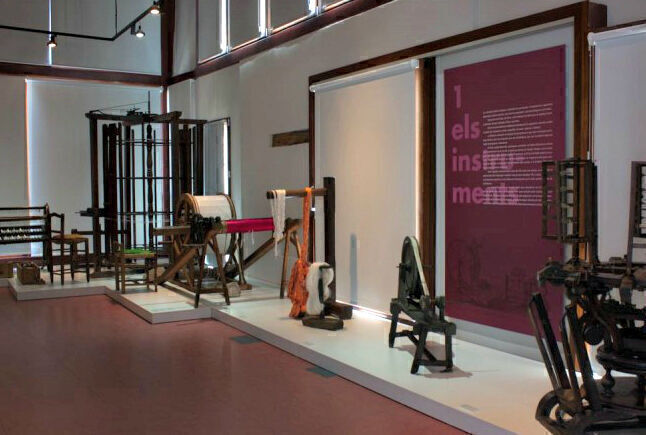
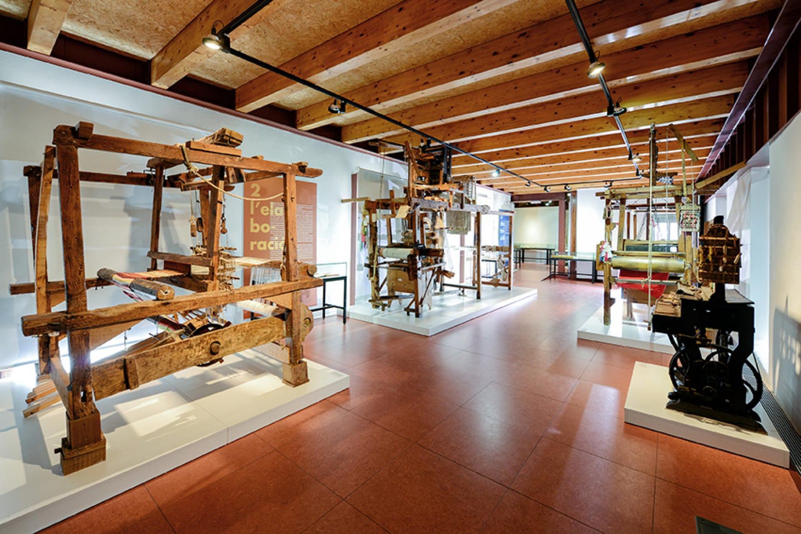
The Textile Museum of the Valencian Community: looms, tools and fabrics that explain why Ontinyent is the capital of Valencian textiles. Free entry.

Read more →
MAOVA🏺 Archaeology

MAOVA

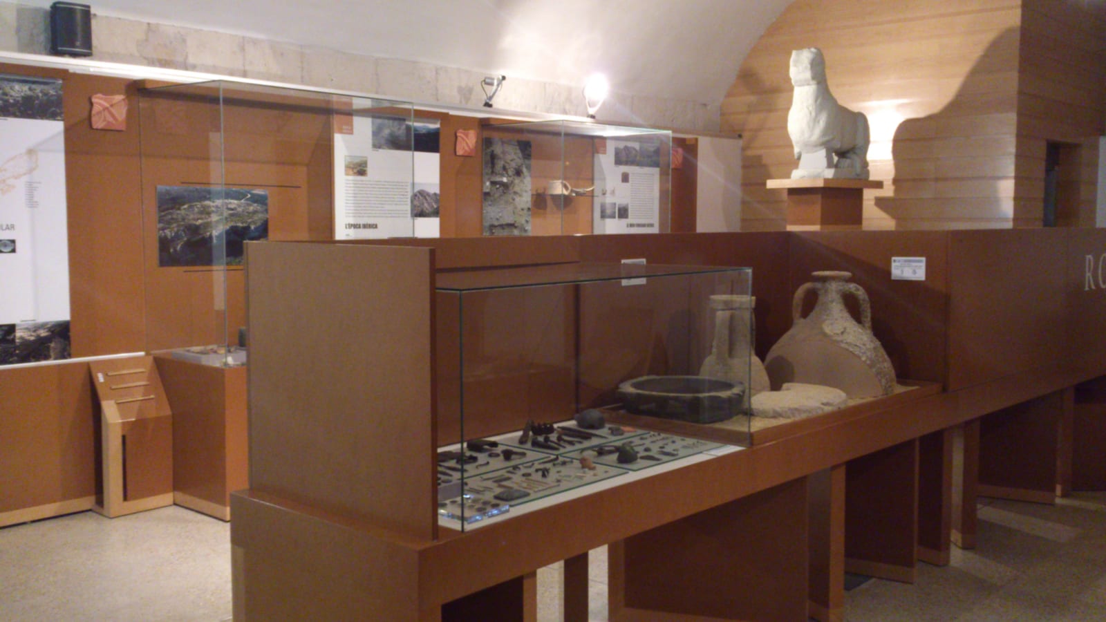
The Archaeological Museum of Ontinyent and the Vall d'Albaida: the legacy of the peoples and cultures who have lived in the district since prehistory. Free entry.

Read more →
Festival Museum🎭 Festival

Festival Museum

Costumes, music, models and posters: over 150 years of Ontinyent's Moors and Christians festival across three floors.

Read more →
🎎 Tradition

Giants and Big-Heads Museum

Home of Ontinyent's best-loved figures, in the Palau de la Vila: the Giants of the three cultures and the Big-Heads inspired by 1930s cinema. Free entry.

Read more →
🦋 Science

Natural Sciences Museum

A hidden gem in the Franciscan convent cloister: wildlife from around the world, pre-Columbian art, Egyptian remains and a botanical garden.

Read more →
Sant Esteve Hermitage⛰️ Viewpoint

Sant Esteve Hermitage

The best viewpoint over the Vall d'Albaida: a 17th-century hermitage with a picnic area, sunsets and, on clear days, views all the way to the sea.

Read more →
🌲 Nature

Fuset and Font de Gamellons

Two spots in the Serra de l'Ombria for a day out: picnic areas, springs, an 18th-century aqueduct and potholes, with waymarked trails.

Read more →
Santa Maria church and bell tower⛪ Church

Santa Maria church and bell tower

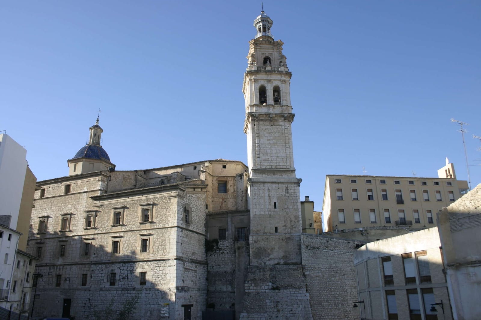
The main church of the Vila, with vaults inspired by Valencia's Silk Exchange, a Renaissance doorway and the tallest bell tower in the Valencia region.

Read more →
Palau de la Vila🏰 Heritage

Palau de la Vila

A former Moorish fortress and royal residence after James I's conquest. Today, restored, it houses the Tourist Office and the Giants and Big-heads Museum.

Read more →
Plaça Major🏰 Heritage

Plaça Major

The heart of Ontinyent's public life since the 16th century: the old town hall, the Llotgeta del Mostassaf and the Counts of Torrefiel palace.

Read more →
Pont Vell (Old Bridge)🏰 Heritage

Pont Vell (Old Bridge)

The stone bridge of 1500-1501 over the Clariano river, at the foot of the Vila, with views of the hanging houses.

Read more →
🏰 Heritage

Carrer Major and its palaces

Gomis and Maians streets joined together, the old road to Albaida and Gandia, with the churches of Sant Carles and Sant Francesc and the noble palaces that earned Ontinyent its stately reputation.

Read more →
⛪ Church

Sant Carles Borromeo church

Founded as a Jesuit oratory in 1703, a Baroque church with a Neo-Byzantine Communion chapel decorated by local artist Carlets.

Read more →
⛪ Church

Sant Miquel del Raval church

Built between the 16th and 18th centuries on a 14th-century chapel, funded by the cloth-makers' guild, with a painted nave and a large 18th-century organ.

Read more →
⛪ Church

Sant Francesc church

All that remains of the Franciscan friary founded in 1573: an austere single-nave church, rebuilt in the 19th century with the help of local people.

Read more →
Carmelite convent⛪ Church

Carmelite convent

A 16th- to 18th-century monumental complex next to Santa Maria bridge, on the old road to Castile.

Read more →