🗓️ Last reviewed: October 2026
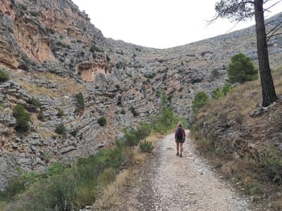
Ontinyent has mountains right on its doorstep: the Serra de l'Ombria to the south and the Serra Grossa to the north, with waymarked trails for all levels. Here are the best walks, from easiest to longest, with what you need to know before setting off. For the history of each spot, see Hiking.
Reading the waymarks
- White and yellow: PR, short-distance trail.
- White and green: SL, local trail (under 10 km).
- White and red: GR-7, the long-distance trail that crosses the district.
1. From the centre to the Pou Clar along the Alba path
- Level: easy. Great for families.
- Time: about half an hour, one way.
- Start: Carrer del Llombo, in town. Follow the Llombo track to the old Alba factory, then the senda de l'Alba to the Pou dels Cavalls, the first pool.
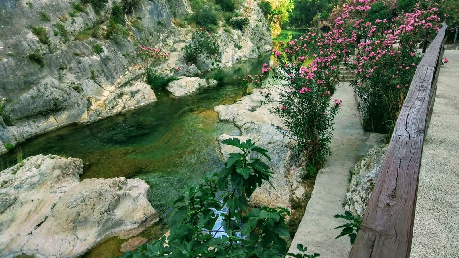
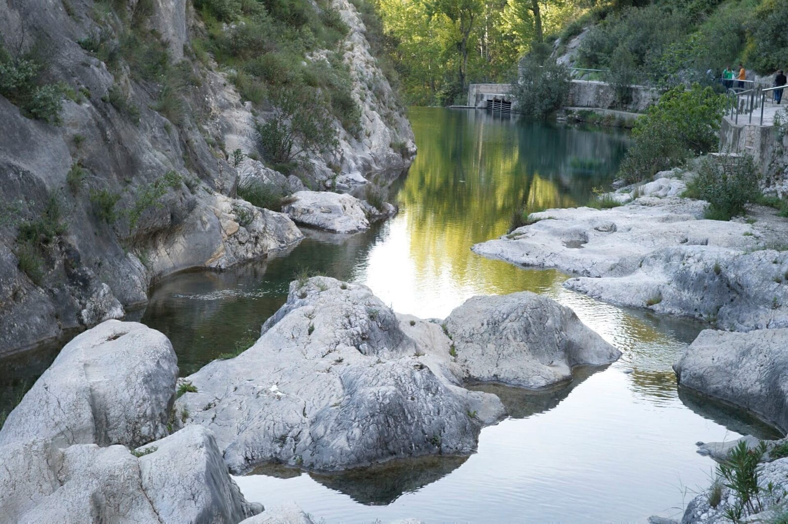
- Why go: you reach the Pou Clar on foot without worrying about the car, which is very handy in summer when the road is closed. More in the Pou Clar guide.
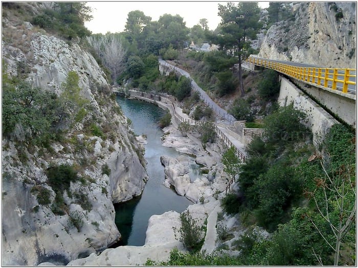
2. From the Pou Clar to Bocairent (PR-V 122)
- Level: easy to moderate.
- Time: under an hour, one way.
- Start: the Pou Clar.
- The route: climbs the Tarongers gorge past crags and the old mills of the Mills Route to Bocairent. To return, retrace your steps or arrange a lift.
3. The Fuset trails
- Level: easy to moderate.
- Start: the Fuset picnic area, in the Serra de l'Ombria.
- Getting there: by car on the CV-655 towards Fontanars dels Alforins; between km 8 and 9, an unpaved track on the left with the sign Senders de Fuset.
- Four routes:
- Panoramic (3 km): up to the cross, with views over the whole Vall d'Albaida.
- Caving (under 4 km): small potholes and the mouth of the avenc Gran.
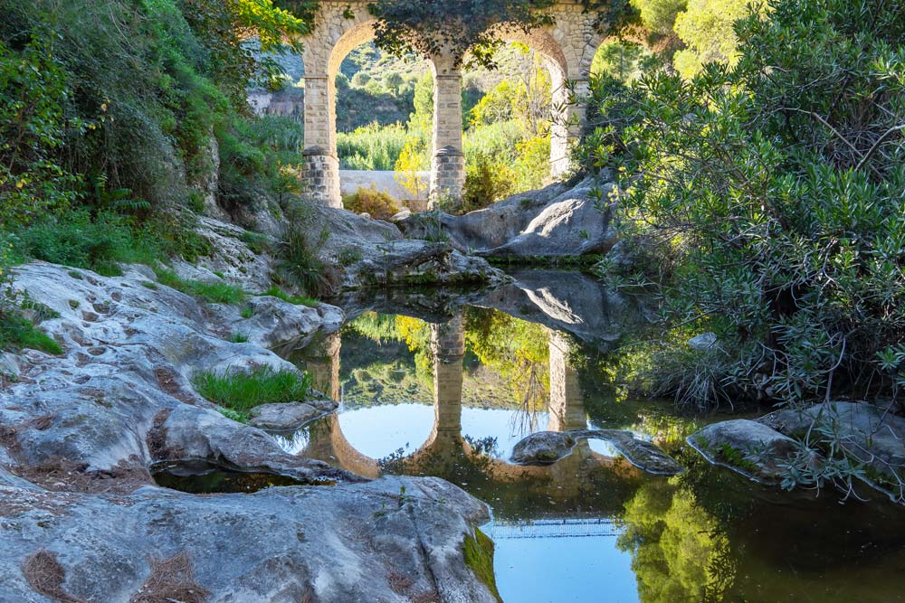
- Educational (about 7 km): lime kilns, an 18th-century aqueduct and the Font del Nano spring.
- Hiking (12 km): out to the Font de Gamellons and the avenc dels Caragols.
- Facilities: tables and toilets at the picnic area. More in Fuset and Gamellons.
4. The l'Ombria path to the Font de Gamellons
- Level: moderate, because of the distance.
- Distance: 14 km, one way.
- Start: Carrer Carril, next to the Santa Maria bridge, in town.
- Waymarks: two parallel blue lines.
- Why go: the Font de Gamellons spring almost always flows. From there the circular SL-V 19 leads to the Font de la Duenya.
5. Sant Esteve hermitage
- Level: easy to moderate.
- Start: Avinguda Vicent Gironés, in the Sant Rafel district, which becomes the camí de les Boles. At the junction with the Moixent road there are walking areas separated from the traffic up to the Sant Esteve track, signposted on the left.
- Why go: it's the great viewpoint over the Vall d'Albaida; on clear days you can see the sea. Perfect at sunrise or sunset.
- Note: there's little shade. More in Sant Esteve hermitage.
What to bring and tips
- Plenty of water, a hat and sun cream: in summer, set off early and avoid the middle of the day.
- Hiking boots: many paths have loose stones and get slippery after rain.
- Check the weather before you go.
- No fires in the hills. In summer, when fire risk is high, the regional government may restrict access to some areas: check before you go.
- Respect crops and private property, and take your litter home.
- The Tourist Office (Palau de la Vila, +34 962 91 60 90) has the leaflet Por las sendas de Ontinyent (On Ontinyent's paths).
Sources: Turisme Ontinyent and Ontinyent Town Council.